Stay informed with local news updates covering Agudo and the surrounding region. Browse the Hemeroteca for past articles and keep up with what matters in the community.
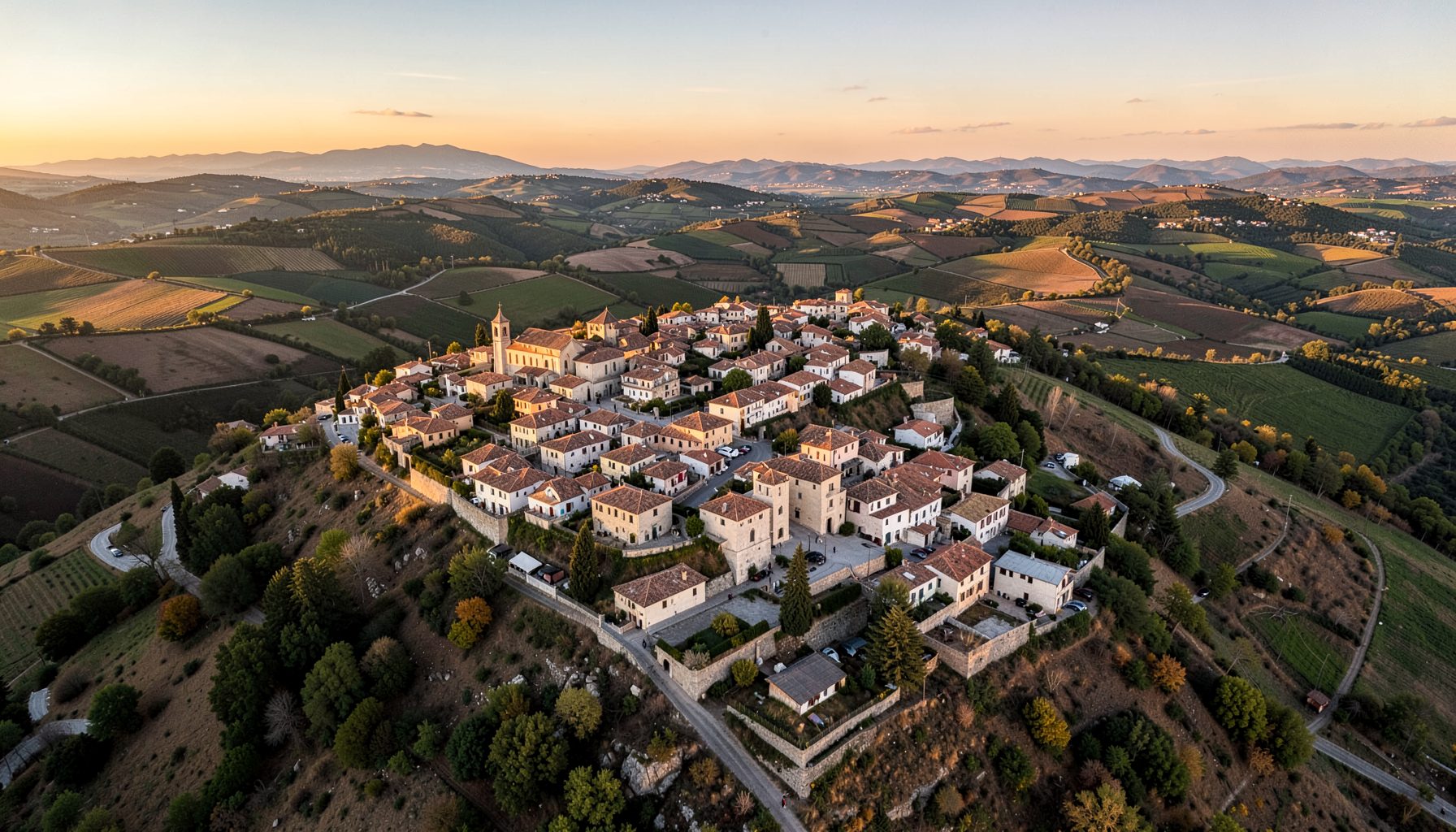
After several years of quiet overgrowth and a path that nearly vanished beneath wild thyme and broom, the footpath from Agudo to the Ermita del Cristo has been officially reopened by the town's hiking club. A small but determined crew of volunteers spent much of the summer clearing scrub, rebuilding stone steps, and installing bright new directional markers along the roughly four-kilometre loop. The reopening marks the first time the route has been properly navigable since storm damage in early 2024, and the club is already scheduling weekend walks for residents and visiting ramblers alike.
While the trail winds through the rolling countryside of southern Ciudad Real, its spirit echoes the kind of community-led track work that groups like the Brisbane Bushwalkers or the Sydney Bush Walkers have carried out for decades on the other side of the world. In Australia, footpaths are often called bushwalks, and weekend maintenance crews are a backbone of that outdoor culture, whether the path in question is a coastal headland near Perth or a shady ridge outside Geelong. Here in Agudo, the same volunteer ethos has now produced a route that anyone with a pair of sturdy shoes and a hat can follow on a Sunday morning, without needing a local guide to point the way.
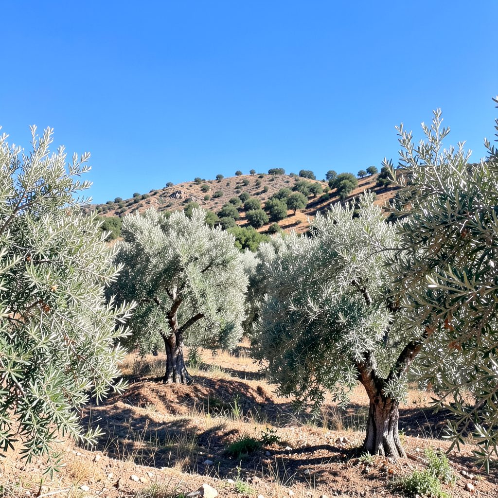
The Ermita del Cristo sits on a low rise roughly two kilometres east of the town centre, overlooking a patchwork of olive groves and cereal fields. Pilgrims have walked to the small chapel for centuries, and the original path was once marked by cairns and the occasional painted blaze on a holm oak. Much of that informal signage was lost when the February 2024 storms brought down branches and loosened the stone edging on the steeper switchbacks, and a punishing spring that followed did little to help recovery.
Club president María Jesús Naranjo said the decision to reopen the trail came after a steady stream of requests from families and older residents who had stopped walking to the chapel. "We would meet people at the bakery who kept saying they missed the walk up to the chapel," she explained. "Once we got the council's go-ahead and a small grant for materials, the work was easier than we expected because so many hands turned up."
Around thirty volunteers pitched in across four working weekends, ranging from teenagers earning community-service hours to retirees who remembered walking the path as children. The crew split into three teams: one for clearing and path shaping, one for repointing loose stones, and one for installing waymarkers. Tools were shared from the club's small shed near the plaza, and a local builder donated a few bags of lime mortar for the worst sections.
The project also drew unexpected support from outside the usual hiking set. Beekeepers who tend hives along the lower slopes stopped by with cold water on the hottest mornings, and the difficult year captured in the report on cold snap losses had left them only too happy to talk about something other than empty frames. Even the pharmacist in the high street got involved, reminding volunteers to keep hydrated on the long summer mornings. That sense of shared effort, club secretary Paco Ruiz noted, is what gives the trail its real value.
The new markers are slim aluminium posts, about a metre tall, painted in the club's colours of cream and terracotta. Each one carries a small pictogram showing a walking figure, the club's stylised logo, and an arrow pointing the safe direction of travel. The pictograms were designed by a graphic-design student from the local secondary school, and they are easy to read at a glance, even for visitors who do not speak Spanish.
In total, twenty-three waymarkers were installed, with extra posts added where the trail forks or crosses a vehicle track. The club deliberately avoided the bright yellow blaze paint used on routes such as Australia's Bibbulmun Track in Western Australia, since that style can feel harsh against a quiet rural hillside. Instead, the markers rely on their reflective tops to catch torchlight during the occasional evening descent, when the chapel is floodlit for the patron saint's fiesta in mid-September.
The loop begins at the old stone fountain on Calle del Carmen and climbs gently through the pine belt before turning south along a contour line with views across the embalse. From there, the path drops into a hollow filled with rosemary and then climbs again to the chapel forecourt, where a centuries-old holm oak shades a stone bench. The full circuit takes most walkers between ninety minutes and two hours, depending on how often they stop to watch the booted eagles circling overhead.
Mid-walk, near the halfway point, walkers pass a small sandstone outcrop where the club has placed a discreet bench in memory of one of its founding members. A short detour leads to a natural spring that, despite the dry climate, runs reliably from late autumn into early summer. Australian visitors accustomed to carrying their own water filters on long bushwalks will be relieved to know that the spring water here is considered safe for refilling bottles after a quick visual check, although most locals still bring a litre from home to be cautious.
The transformation is hard to overstate. The original route, remembered by long-time residents, was a narrow, uneven footpad with only three cairns and a faded wooden sign near the chapel. After the storm damage it became almost impassable in places, choked by bramble and slick with loose soil after rain. Club members say that for two years they quietly turned walkers away from the upper section because the risk of a twisted ankle was simply too high, a situation not unlike temporary closures sometimes seen on tracks winding through the Flinders Ranges after heavy rainfall.
A short survey of fifteen regular walkers produced the following comparison of how the route now differs from its previous state.
| Feature | Before the reopening | After the reopening |
|---|---|---|
| Length of marked loop | About 3.2 km, partly unmarked | 4.1 km, fully waymarked |
| Number of directional signs | 3 cairns, 1 wooden plaque | 23 aluminium waymarker posts |
| Surface condition | Uneven, eroded on slopes | Repaired steps, stabilised edges |
| Estimated walking time | 2 to 2.5 hours | 1.5 to 2 hours |
| Suitable for families with children | Risky on the upper section | Yes, with basic footwear |
| Evening visibility | Poor after dusk | Reflective tops on every post |
| Wildlife disturbance from clearing work | Heavy, unmanaged regrowth | Targeted, rotated by season |
The club plans to lead an official reopening walk on the second Saturday of the month, meeting at 8:30 am at the fountain in Calle del Carmen. The walk is free, open to anyone, and finishes with a small shared breakfast of migas, coffee, and the kind of sweet pastries that turn a morning stroll into something closer to a community ritual. Visitors from abroad, including the occasional traveller who has come up from Madrid or even from Australia on a longer trip through central Spain, are warmly welcomed.
Anyone keen to support the club's work can join the annual membership, which costs a few euros and helps cover the cost of replacing any waymarkers that are vandalised or weathered out. Volunteer days are held three times a year, normally in early spring, mid-summer, and just after the September fiesta, when the slopes are at their quietest. Walkers who plan to make a Saturday of it can stop by the high street first for the free blood pressure checks now offered on weekend mornings, then head up the new trail and be back in the plaza before lunch. For those who would simply like to enjoy the new path without committing to maintenance, the route is now safe to follow alone, although the club recommends walking with at least one companion and letting someone know your expected return time, the same common-sense habits used on remote tracks from the Margaret River region to the high country of New South Wales.
Stay informed with local news updates covering Agudo and the surrounding region. Browse the Hemeroteca for past articles and keep up with what matters in the community.
Join the conversation in the Agudo community forums. Access the Foro antiguo archive and participate in discussions with fellow residents and visitors.
Browse local second-hand listings in the Agudo area. A convenient marketplace for buying and selling within the community.
Explore our directory of recommended links, including the Ayuntamiento de Ciudad Real, Lagunas de Ruidera, Parque de Cabañeros, Agudo Joven, and Balneario Cervantes.
Access practical tools including Prensa links, radio, horóscopo, Loterías results, a leisure guide, recipes, a dictionary, and Street View integration.
Watch videos showcasing Agudo and the surrounding region. A visual tour of local life, landscapes, and community events.