Stay informed with local news updates covering Agudo and the surrounding region. Browse the Hemeroteca for past articles and keep up with what matters in the community.
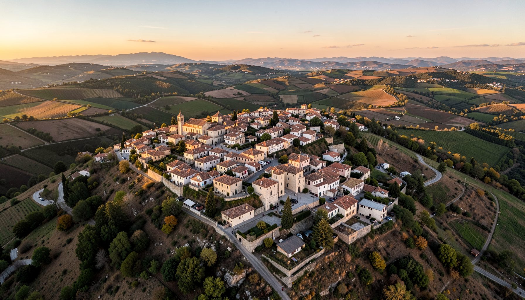
The Agudo town council has unveiled a printed guide in Spanish and English that walks readers through the village's Roman heritage trail, complete with maps, site descriptions, and historical context. The publication is the result of several months of collaboration between municipal staff, local historians, and a small group of teachers who reviewed the translations for accuracy and tone.
Distribution has begun at the tourist information point, the municipal library, and participating bars and shops along the main street. A digital version is also available for download, and council workers say the response from both residents and visitors from abroad has been strongly positive. The bilingual approach reflects a broader effort to welcome travellers who arrive in the region with little or no Spanish, while also serving Agudo's diaspora communities scattered across other countries.
The pamphlet runs to twenty-four pages and folds out to a single A3 map that traces the full circuit on both sides. Side panels explain each stop in short paragraphs, with a glossary of Latin terms that appear on milestones and inscriptions along the way. Photographs show the current state of the ruins alongside archival images from earlier surveys, giving readers a clear sense of how the landscape has changed.
Council staff chose the Spanish-English pairing after reviewing visitor numbers at the regional museum and noting that a significant share of enquiries came from English-speaking travellers passing through central Spain. The format mirrors guides used in many national parks across Australia, where brief multilingual handouts are common at trailheads in places like the Blue Mountains or Wilsons Promontory. Print runs of around 1,500 copies will be replenished as needed, and the digital PDF will be updated whenever new archaeological findings are confirmed.
The route covers roughly seven kilometres of country lanes, dirt tracks, and short stretches beside the Rio Agudo. It is divided into seven numbered stops, each marked with a small interpretive panel installed over the past two years. The path is mostly flat and suitable for families, though a few sections become muddy after heavy rain, and sturdy footwear is recommended between late autumn and early spring.
Highlights include a reconstructed section of paved Roman road, the remains of a small bridge that once carried traffic across a tributary, and a low wall that locals identify as the foundation of a wayside inn. Interpretive copy in the pamphlet sets each site within the wider history of the province, where Roman engineers laid down a dense network of roads linking mines, farms, and administrative centres. Walkers are reminded to stay on the marked path, both to protect the fragile remains and to avoid disturbing private land.
For visitors who enjoy planning ahead, the comparison below shows how the Agudo route sits alongside other nearby heritage trails. It sets out the length, the kind of features on offer, the languages printed on the official guide, and who each walk tends to suit best.
| Trail | Length | Key features | Languages on official guide | Best suited to |
|---|---|---|---|---|
| Agudo Roman Route | 7 km | Roman road, bridge foundations, wayside inn remains | Spanish, English | Families, casual walkers, school groups |
| Laguna de Contreras heritage path | 5 km | Medieval bridge, watermill, church | Spanish | Day visitors, photography enthusiasts |
| Almadén mining trail | 9 km | Mercury mine tunnels, miners' village, museum | Spanish, French | History specialists, guided tour participants |
| Tablas de Daimiel boardwalk | 3 km | Wetland wildlife, observation hides | Spanish, English | Birdwatchers, nature lovers |
The comparison makes clear that the Agudo pamphlet fills a niche for English-speaking visitors who want a self-guided cultural walk without relying on a tour group. Travellers who want a shorter medieval option often combine the route with a stop in the nearby village of Laguna de Contreras, where the heritage path and the old stone bridge sit within easy reach of a morning coffee. Nearby councils in the province are watching the project closely, and at least two have asked for advice on producing their own bilingual materials.
The route can be walked in either direction, though most people start at the plaza near the church and finish beside the old washhouse on the riverbank. Allow at least two and a half hours if you stop to read every panel, and bring water, sun protection, and a light snack, as there are no shops along the way. A QR code on the back of the pamphlet links to a downloadable audio track in both languages, narrated by a local teacher.
Highlights of the Roman route:
Practical details for planning a visit:
For travellers coming from Australia, the route offers a rare chance to walk through Roman history without the long-haul journey to Italy or Turkey. A return flight from Sydney or Melbourne to Madrid clocks in at well over twenty hours, and the extra drive south brings visitors into a part of Spain that feels far removed from the crowded coastal resorts. Heritage walking has grown steadily in regional Australia, with long-distance tracks such as the Larapinta and the Bibbulmun attracting thousands of international visitors each year, and short cultural loops like this one fit a similar appetite for slow, story-rich travel.
The pamphlet is the most visible part of a longer programme to celebrate and protect Agudo's Roman past. Volunteers have already played a key role in caring for the landscape, as shown by the recent riverbank cleanup organised by a retiree volunteer group in the lead-up to summer. Council members say that level of local engagement gives them confidence to push for further interpretive work, including a second pamphlet focused on Moorish-era sites and a small audio guide in sign language.
Pick up a copy of the bilingual guide at the tourist office, ask for one at any local bar displaying the route sticker, or download the PDF directly from the municipal website. Walk it slowly, take photos, and share your impressions with the council so future editions can reflect the questions visitors actually ask.
Stay informed with local news updates covering Agudo and the surrounding region. Browse the Hemeroteca for past articles and keep up with what matters in the community.
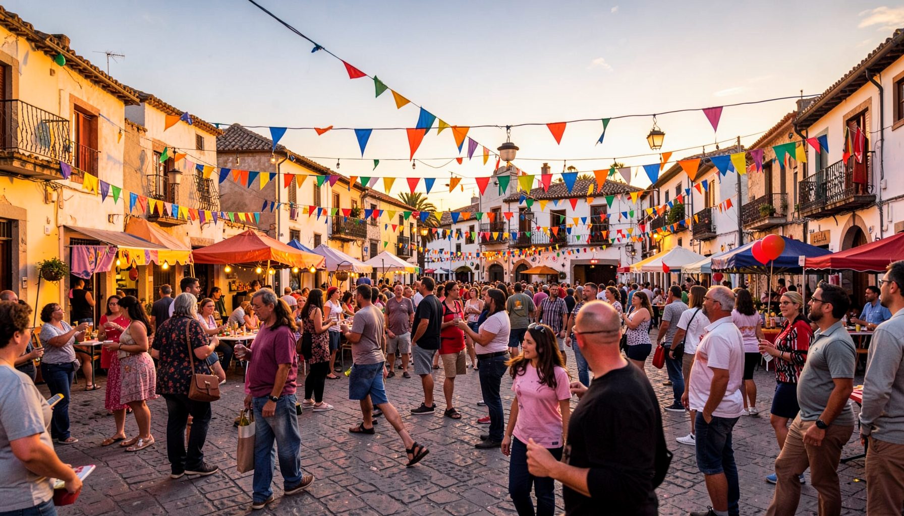
Join the conversation in the Agudo community forums. Access the Foro antiguo archive and participate in discussions with fellow residents and visitors.
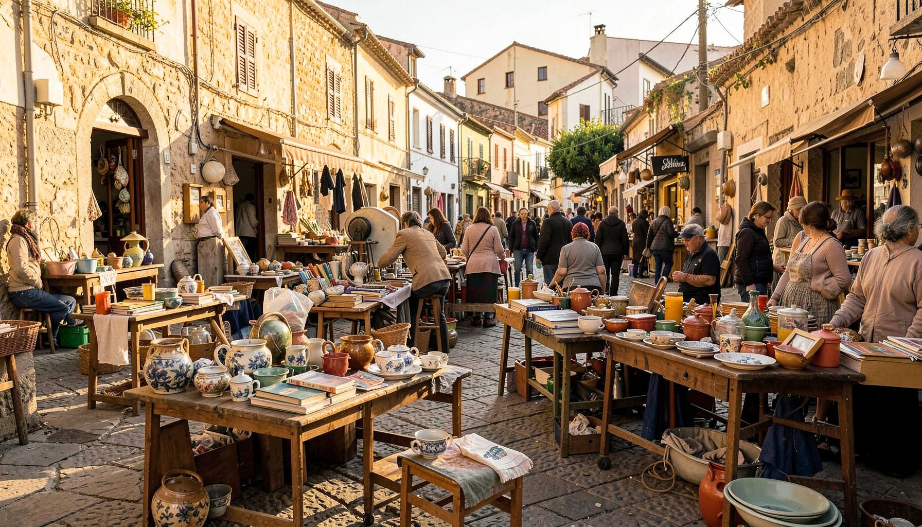
Browse local second-hand listings in the Agudo area. A convenient marketplace for buying and selling within the community.
Explore our directory of recommended links, including the Ayuntamiento de Ciudad Real, Lagunas de Ruidera, Parque de Cabañeros, Agudo Joven, and Balneario Cervantes.
Access practical tools including Prensa links, radio, horóscopo, Loterías results, a leisure guide, recipes, a dictionary, and Street View integration.
Watch videos showcasing Agudo and the surrounding region. A visual tour of local life, landscapes, and community events.