Stay informed with local news updates covering Agudo and the surrounding region. Browse the Hemeroteca for past articles and keep up with what matters in the community.
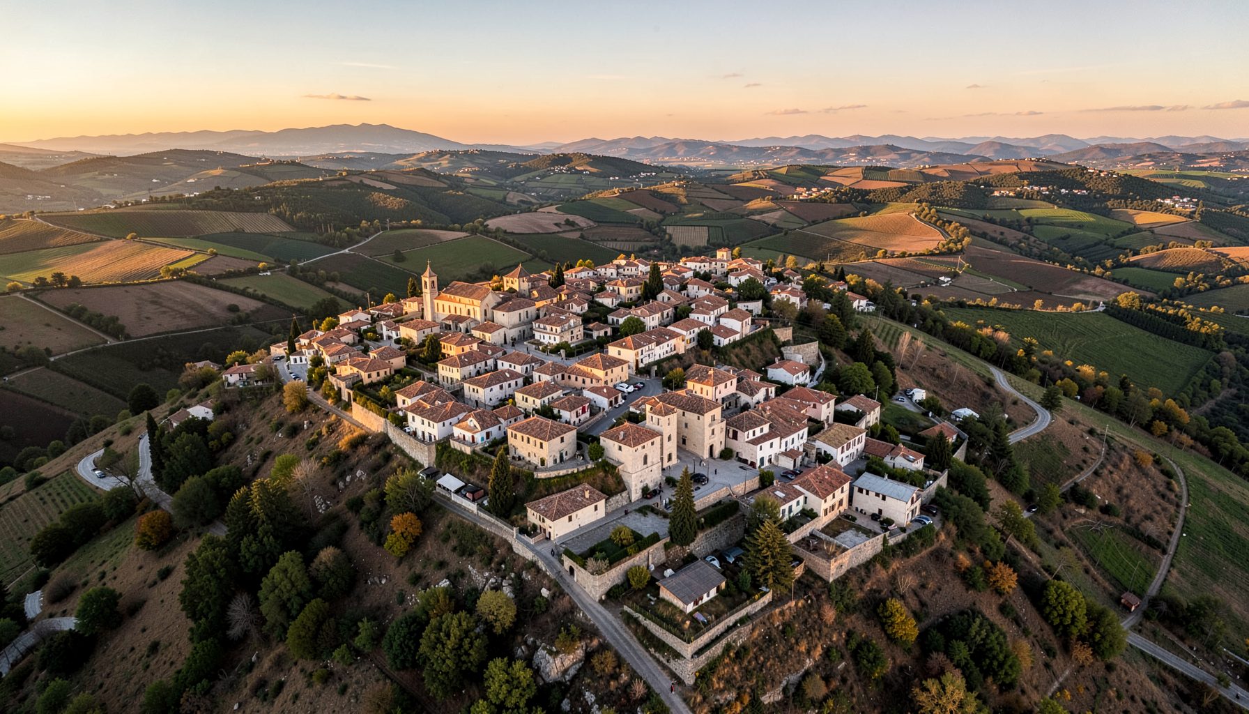
The Asociación Cultural Agudo Histórico has just released a printed and digital walking map that guides visitors through the network of old washhouses and public fountains that once served the rural communities around the town. The publication comes after two years of fieldwork, interviews with elderly residents, and archival research in the municipal records held at the town hall.
For Australian readers who may be more familiar with heritage trails in places like the Dandenong Ranges or the colonial-era sites scattered around the Hawkesbury, this kind of grassroots mapping project offers a useful point of comparison. Local historical societies across New South Wales and Tasmania have long produced similar self-guided brochures, often pinned to the noticeboard at the local library or handed out at the weekly farmers' market. The format is tried and true, and the Agudo group has clearly taken a few cues from that volunteer-driven approach.
| Loop | Distance | Walking time | Difficulty | Highlights |
|---|---|---|---|---|
| Eastern loop | 2.4 km | 50 minutes | Easy, mostly flat | Three lavaderos, shaded footpath, two working fountains |
| Southern loop | 3.6 km | 1 hour 40 minutes | Moderate, some uphill sections | Higher fuentes, panoramic views across the orchards, old livestock troughs |
The history group was founded seven years ago by a handful of retired teachers and amateur genealogists who wanted to document the disappearing water infrastructure scattered across the district. Many of the washhouses, known locally as lavaderos, fell out of regular use in the 1970s when indoor plumbing reached the outlying hamlets. Without maintenance, the stone basins cracked, the roofs sagged, and the surrounding courtyards turned into informal dumping grounds.
Volunteers walked more than forty kilometres over weekends, photographing each structure, recording GPS coordinates, and chatting with anyone who still remembered hauling washing down to the village fountain. One member, a former primary school librarian, transcribed oral histories from three women in their eighties who described the social rituals of washday: the gossip exchanged while scrubbing sheets, the children sent to fetch water, and the occasional squabble over whose turn it was at the cleanest trough.
The resulting map is hand-illustrated, with short notes on the history of each site and practical directions for finding it. Copies are free at the tourism office, the local bakery, and the branch of the regional archive housed in the old convent. A PDF version is also available for download from the group's page on the portal.
The printed route covers roughly six kilometres and can be split into the two shorter loops shown in the table above. The first loop focuses on the eastern cluster, where three washhouses sit within a fifteen-minute walk of each other along a shaded footpath. The second loop climbs gently toward the higher fountains that once supplied the orchards on the southern slope.
Each stop on the map includes a small sketch, a brief history, and an estimate of how long walkers should allow. The lavadero in Calle del Agua, for instance, gets a full page treatment because it still has its original stone basin, a wrought-iron boot scraper, and a tile panel depicting the patron saint of laundresses. The Fuente de los Pinos, further uphill, is notable for its carved granite lip and the troughs that local masons shaped for livestock as well as for people.
For anyone used to the understated signage in Australian national parks, the map's quiet style will feel familiar. There is no glossy marketing language, no sponsored advertising, and no upselling. The notes simply tell walkers what they are looking at, when it was built, and what to watch out for on the path. Locals will tell you, fair dinkum, that the best way to see the route is at first light, before the tour buses arrive and the shadows lengthen across the courtyards.
Beyond their practical function, the washhouses were social hubs. In many villages, the lavadero was the only place where women from different households met regularly, exchanged news, and supervised the children playing nearby. The fountains played a similar role at the start and end of the working day, when farmers collected water and stopped for a chat before heading home.
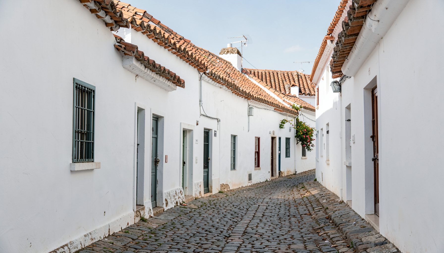
Architecturally, the structures reflect a mix of influences. Some are plain functional boxes with pitched tile roofs, while others feature decorative cornices, wrought-iron grilles, and ceramic panels. A few include small shrines tucked into niches in the wall, left over from the period when waterways were considered sacred. The map highlights these details with close-up drawings and short captions explaining their likely origin.
For Australian readers, the closest parallel might be the nineteenth-century stamper batteries and gold-rush sluices that survive in places like Bendigo or the heritage-listed culverts along the Yarra. Both kinds of infrastructure speak to a time when water was a shared resource, managed collectively and shaped by the rhythms of daily life. The Agudo map makes that history legible to anyone willing to spend a couple of hours on foot.
The first print run of five hundred copies sold out within ten days, according to the group's treasurer. A second run is now being funded through a small grant from the regional cultural department and a collection tin placed at the bakery counter. The group is also looking for volunteers to help with guided tours during the autumn heritage week.
Anyone interested in contributing photographs, old postcards, or family memories can drop material off at the archive on Saturday mornings. The archivists have set up a simple cataloguing system and are happy to scan documents on the spot so originals can be returned immediately. There is no formal membership fee, just a request that participants sign in so the group can keep track of who is helping.
This volunteer-driven model mirrors what happens at historical societies in suburban Melbourne or Brisbane, where members often run working bees at heritage cottages and contribute to local history walks through places like the Brisbane River corridor. The Agudo group is keen to learn from similar initiatives and has already exchanged maps with a heritage association in Andalucía that is documenting its own network of fuentes. The wider community is also rallying around other grassroots projects, such as the composting site behind school, which has turned a forgotten corner of the allotments into a meeting point for neighbours on weekend mornings.
Walking maps like this one sit at the intersection of local history, slow tourism, and community pride. In a region where the population has been steadily declining and many younger people have moved to the coast, the project has given older residents something concrete to share with visitors and with their own grandchildren. It has also helped the town position itself as a destination for cultural tourists who prefer quiet rural trails over crowded beach resorts.
For Australian travellers planning a trip to inland Spain, the map offers a way to experience the landscape at a slower pace. It can be combined with a visit to the nearby reservoir, where a summer kayaking programme is being run by the sports club, offering another way to enjoy the water heritage that the history group is working to document.
The history group is already talking about a second edition that would extend the route to include the remains of an old icehouse on the northern edge of town and a series of boundary markers that date back to the eighteenth century. If the funding comes through, the new map would be ready in time for next year's heritage festival.
Walking the full route in one go takes about two and a half hours at a comfortable pace, including short stops at each site. Most of the path is flat or gently sloping, with a few stony sections that require sturdy shoes. There is very little shade along the second loop, so a hat and a water bottle are essential between May and October. Here is what else to keep in mind before lacing up your boots:
Pick up a copy of the map at the tourism office, download the PDF from the Agudo Ciudad Real portal, and start exploring the water heritage of the district on foot this weekend. Share your photos on the community forum, add your own family memories to the archive, and help the history group keep the story of these quiet corners alive for the next generation of walkers.
Stay informed with local news updates covering Agudo and the surrounding region. Browse the Hemeroteca for past articles and keep up with what matters in the community.
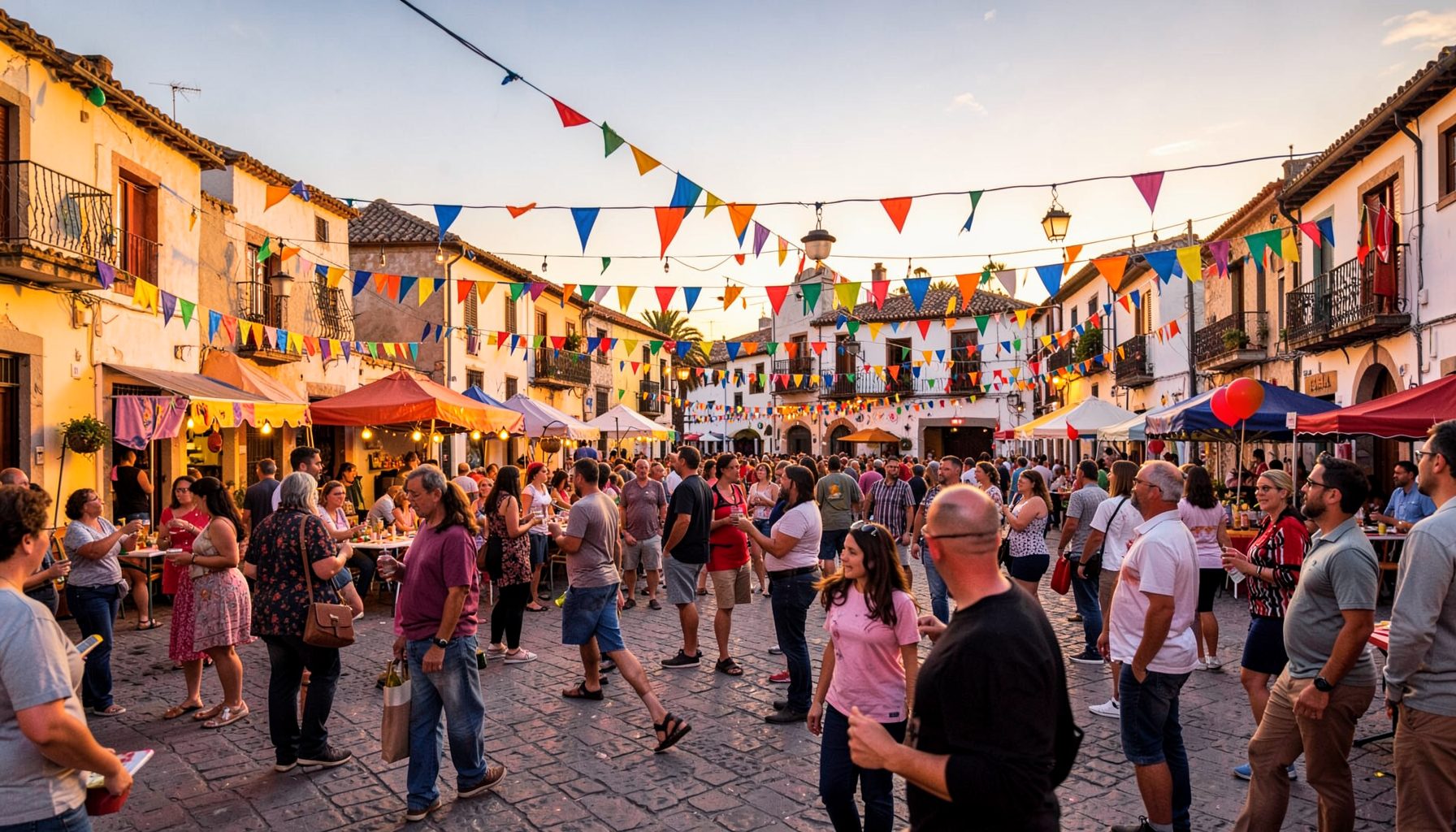
Join the conversation in the Agudo community forums. Access the Foro antiguo archive and participate in discussions with fellow residents and visitors.
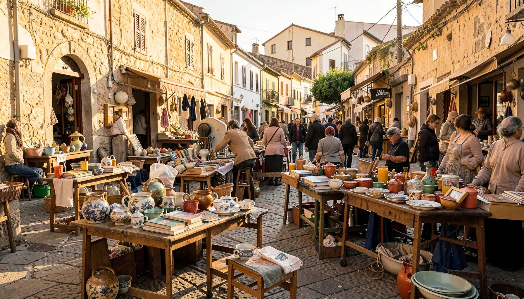
Browse local second-hand listings in the Agudo area. A convenient marketplace for buying and selling within the community.
Explore our directory of recommended links, including the Ayuntamiento de Ciudad Real, Lagunas de Ruidera, Parque de Cabañeros, Agudo Joven, and Balneario Cervantes.
Access practical tools including Prensa links, radio, horóscopo, Loterías results, a leisure guide, recipes, a dictionary, and Street View integration.
Watch videos showcasing Agudo and the surrounding region. A visual tour of local life, landscapes, and community events.